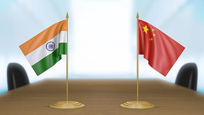
Increased Chinese presence in the Indian Ocean Region (IOR) has pushed India to seek rights to explore cobalt reserves in the region. India’s latest application to the Jamaica-based International Seabed Authority will put it on a conflicting path with Sri Lanka, which sought an extension of its continental shelf that would put them under the ocean Cobalt Mountain within its territorial waters.
China dominates the cobalt supply chain, and its survey vessels have been coming to map India’s backyard with alarming frequency. During the writing of this report, Yuan Wang – a Chinese survey vessel that can track and support satellite and intercontinental ballistic missiles, entered the IoR after traversing through Indonesian waters.
India’s application to the International Seabed Authority was submitted on January 18, 2024. It sought approval to explore ‘cobalt-rich ferromanganese crusts’ in the Afanasy Nikitin Seamount in the Central Indian Ocean. The application was submitted by the Earth System Science Organization (ESSO)-Ministry of Earth Sciences of the Government of India.
Cobalt is a critical element in electric vehicle batteries, which is important for India, which has set 2070 as the deadline for net-zero emissions.
The application covers a total area of 3,000 square kilometers in the Central Indian Ocean and consists of 150 blocks, none exceeding 20 square kilometers in area. The blocks are organized into six clusters, each containing 12 to 50 blocks. The Nikitin Seamount is east of the Maldives and about 1,350 miles from the Indian coast.
India has already paid the Authority US $500,000 to consider its application. The ESSO has already submitted a program for the first five-year period. The goal is to develop the exploration activities of cobalt-rich ferromanganese crusts by conducting “an extensive geophysical, geological, biological, oceanographic, and environmental study” in the area.
The contractor will explore the proposed area, considering the long-term plan covering 15 years. The proposed work plan for exploring the cobalt-rich crust in the Afanasy Nikitin Seamount will be accomplished in three main phases (phase I: years 1 to 5; phase II: years 6 to 10; and phase III: years 11 to 15). In addition, training programs (on land and at sea) for candidates selected by the Authority will be implemented for a minimum of 10 trainees.
The application seems routine, but while evaluating India’s petition, the ISA found that Afanasy Nikitin Seamount lies within an area also claimed by another country. Quoting a note from ISA, Al Jazeera said: “Though the ISA did not name this other country in its response to India, experts believe Sri Lanka is the nation the seabed authority was referring to. A country’s continental shelf is the edge of its landmass beneath the ocean.”
India did not respond to ISA’s note in time for it to be considered during the ISA’s 29th Session of the Legal and Technical Commission held on March 12. Following this, the Authority has kept India’s application on hold.
Sri Lanka’s Application
Sri Lanka applied for an extension of the limits of its continental shelf from 200 nautical miles, the general limit to the continental shelf, as per the United Nations Convention on the Law of the Sea. Under the convention, up to 200 nautical miles from the shore make the exclusive economic zone of a country.
The country has exclusive rights to exploit the area for economic purposes without hindering international shipping traffic.
The coastal countries, however, can petition the United Nations Commission on the Limits of the Continental Shelf (CLCS), contending that the outer limits of their continental shelves extend beyond 200 nautical miles.
India-China
File Image: Modi-Xi Jinping
In 2010, India responded to Sri Lanka’s claims without any objection. However, the position changed in 2022 when India submitted that Sri Lanka’s claims would prejudice the rights of India over the parts of the continental shelf. New Delhi requested the commission not to “consider and qualify” the submission made by Sri Lanka.
Beginning January 1, 2024, Sri Lanka, sitting on the tip of the IoR, has put a year-long moratorium on foreign research vessels from operating in its waters. India has repeatedly raised the alarm over the Chinese research vessels surveying the vast swathes of the IOR under the pretext of conducting scientific tests.
The data gathered through these tests is invaluable for the Chinese submarines seeking to navigate the shallow waters of Malacca Strait and through the East IOR, which has caused much consternation in India.
China has put Sri Lanka under its thumb after it acquired the lease of Hambantota port, which the Chinese companies built. Sri Lanka gave Beijing a port right under India’s nose after the island nation failed to pay the Chinese firms. This development did not evoke much confidence in India vis-à-vis Sri Lanka’s ability to take a stand against China.
In 2023, the Chinese Oceanographic survey vessel Shi Yan 6 entered the region for a three-month mission and docked at the Hambantota Port in Sri Lanka.
Besides the apparent scientific goals, these surveys produce data on seabed conditions that serve both civilian and military purposes. While seismic data is critical in assessing geological conditions, the presence of hydrocarbons, water, and seabed conditions also affect the ability to detect submarines.
Research vessels involved in scientific research can also use their instruments for naval reconnaissance, gathering intelligence on foreign military facilities and vessels operating in the vicinity.


